
Getting the Right Level of Detail: Why It Matters More Than You Think
Choosing the right data detail improves decisions—too much slows teams, too little hides risks.
IO Aerospace™ delivers 10 cm native resolution imagery and elevation data through a purpose-built airborne platform engineered for speed, flexibility, and mission-ready collection.
Founded in 2022 and headquartered in Calgary, Alberta, with operations across the United States, we are redefining how high-resolution airborne data is captured and delivered.
By addressing the need for faster, more flexible access to critical data, we support mission-critical operations through a combination of aircraft services, advanced sensor systems, and deep engineering expertise.
IO Aerospace™ enables rapid, scalable collection of ultra-high-resolution geospatial data across large and complex environments.
Our purpose-built system captures 10 cm RGB and NIR imagery, along with precise elevation data, giving organizations the clarity and coverage needed to monitor, analyze, and act with confidence.
At 10 cm resolution, details come into focus.
From infrastructure condition and surface changes to vegetation health and environmental impacts, our data delivers a level of clarity and timeliness that transforms decision-making.
This enables:
IO Aerospace™ is built on delivering high-resolution geospatial data faster, at scale, and with greater operational flexibility. Our leadership team brings deep expertise across aerospace, engineering, data systems, and communications, driving innovation in how large, complex environments are captured and delivered. Together, they are advancing a more responsive, efficient approach to data collection using purpose-built aircraf
With fast turnaround times and cloud-ready delivery, teams get access to current, analysis-ready data exactly when they need it.
IO Aerospace™ is built on delivering high-resolution geospatial data faster, at scale, and with greater operational flexibility.
Our leadership team brings deep expertise across aerospace, engineering, data systems, and communications, driving innovation in how large, complex environments are captured and delivered.
Together, they are advancing a more responsive, efficient approach to data collection using purpose-built aircraft, scalable systems, and streamlined workflows designed for real-world application.

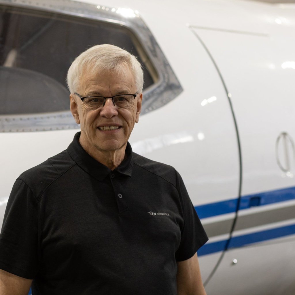
Jonathan Neufeld
B.Sc., P.Eng., MBA
President

Trevor Miller
B.Sc., P.Eng.
Chief Technology Officer
Marvin R. Keyser
Vice President of Aircraft Operations

Mark Davis
SVP, Strategic Solutions

Gertrud Riegler
PhD
Director of Product Management

Darrin Keyser
Director of Maintenance

Bronagh Doherty
Director of Finance

Sonia Taylor Crichton
Director of Marketing
High-resolution, wide-area imagery delivered with speed and flexibility.
Contact IO Aerospace™ to learn more about our capabilities or to request evaluation data.
Contact Us
Choosing the right data detail improves decisions—too much slows teams, too little hides risks.
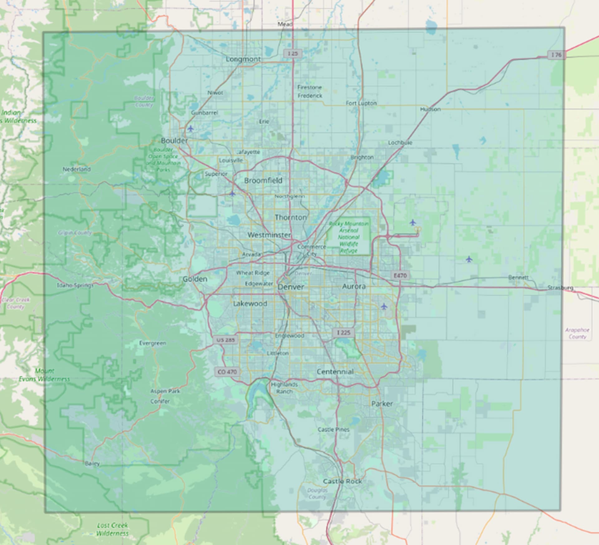
IO Aerospace™ offers large-scale, high-altitude aerial imaging capabilities, capturing up to 10,000 square kilometres of consisten…
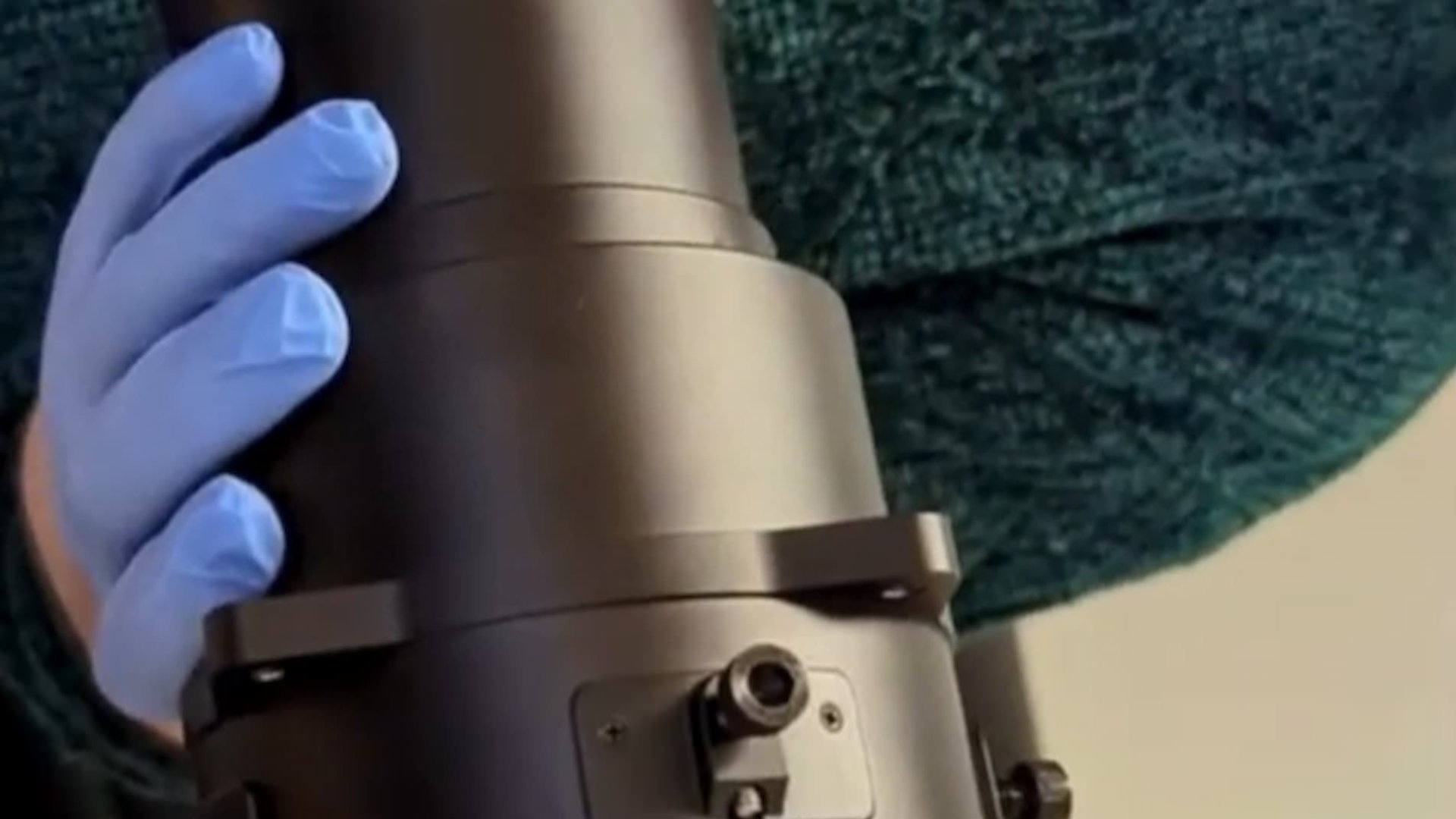
IO Aerospace, in collaboration with Phase One, has developed the RSM 300mm Shutterless Lens. This custom-built optical system is d…